· A three-week training programme, delivered by the British Geological Survey and Ordnance Survey, strengthened the use of geospatial data across key Ghanaian institutions, supporting more informed, climate-resilient urban planning and disaster risk management.
· With support from GCIEP and funding from FCDO, the training programme brought together a total of 93 participants from key institutions including the National Disaster Management Organisation (NADMO), the Lands Commission and the British High Commission.
· Next steps will focus on embedding these capabilities, having utilised a train-the-trainer model, and applying them to real-time planning, disaster preparedness, and infrastructure development.
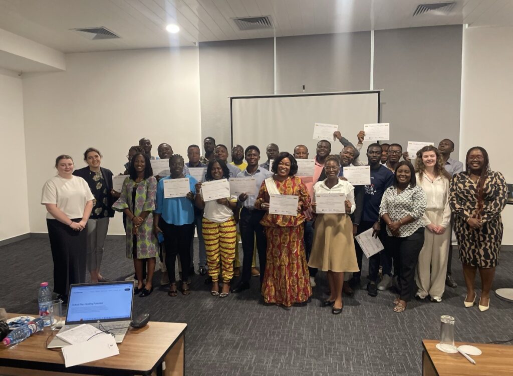
GCIEP supported a three-week geospatial training programme (9–27 March 2026) in Accra, delivered by Ordnance Survey (OS) and the British Geological Survey (BGS). The programme brought together 93 participants from key institutions, including the Lands Commission, NADMO and the British High Commission.
The training covered a range of geospatial applications, including QGIS, geospatial databases, coastal evolution modelling, Earth Observation for hazard mapping, and multi-hazard risk analysis. It was designed to build practical skills in the use of geospatial tools to support urban planning, environmental monitoring, and disaster risk management, and encourage participants to share their learning with their colleagues to further distribute skills across their organisations.
This is a strong example of technical assistance in action, whereby through training, we are building the systems and skills needed to support climate-resilient infrastructure and urban development. By strengthening how institutions use data, GCIEP is helping to create the conditions for better planning, informed decision-making, and investment-ready projects.
The training strengthens the capacity of key government institutions—particularly NADMO—to better forecast hazards, assess risks, and plan ahead. This directly supports effective disaster preparedness and response, alongside more informed urban and infrastructure planning. More broadly, it enhances how government institutions use geospatial data to inform planning, risk assessments, and decision-making. Over time this is expected to improve the design and delivery of infrastructure, strengthen disaster preparedness, and support climate-resilient urban development.
For government, this translates into stronger systems and improved coordination and for communities, it means better early warning, more targeted interventions, and greater resilience to climate shocks. It also creates opportunities to better integrate gender equality, disability and social inclusion (GEDSI) considerations and align with climate and environmental standards, while laying the foundation for sustained institutional strengthening and long-term collaboration with UK technical partners.
The focus now is on embedding these capabilities within institutions and supporting ongoing application of geospatial tools across programmes. This includes continued knowledge-sharing within agencies through the train-the-trainer model (empowering participants to further share their knowledge), strengthening collaboration between institutions, and applying learning from materials provided to urban planning, disaster risk management, and infrastructure development initiatives
Published
13/04/26