- GCIEP developed multi-hazard climate risk maps for nine cities in Ghana, validated with local stakeholders from key institutions, including the municipality and fire services.
- The maps identify short-term risks, the location and expected intensity, providing stakeholders with timely, actionable intelligence to inform more resilient urban development planning.
- Next steps include finalising a real-time dashboard to visualise the risks and providing municipality training for full local ownership and application.
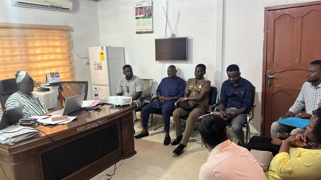
A validation session at East Mamprusi for the climate risk maps.
The Green Cities Infrastructure and Energy Programme (GCIEP) has developed multi-hazard climate risk maps for nine cities across Ghana: Wa, Damango, Nalerigu, Yendi, Bolgatanga, Tamale, Sekondi-Takoradi, Kumasi and Accra. These maps were validated through stakeholder workshops between 12 and 22 May 2025, engaging 77 individuals (64 men and 13 women) from key institutions including municipal authorities, the National Disaster Management Organisation (NADMO) and the local fire services.
Unlike traditional climate risk maps projecting 50 to 100-year outlooks, the GCIEP maps focus on short-term climate risks. They identify the risk type, location and expected intensity of hazards, providing municipal and metropolitan assemblies (MMAs) with timely, actionable intelligence. This enables targeted, locally driven interventions and informs more resilient urban development planning.
This initiative comes at a crucial moment, as MMAs across the country are preparing their medium-term development plans. The risk maps will integrate into these processes, equipping planners with the necessary data to apply a climate-smart lens to urban resilience planning, something which was previously lacking.
GCIEP is also developing a real-time dashboard to visualise these risks. The dashboard will further institutionalise climate-responsive planning, ensuring data-driven decision-making is embedded in local governance. Crucially, the process includes the handover of the dashboard to MMAs and the Ghana Meteorological Agency, along with capacity building to ensure long-term sustainability and local ownership.
Gender considerations have been central to this work. Many of the cities involved have populations where women are in the majority. As such, the risk maps and proposed response actions consider the specific needs and vulnerabilities of women, reinforcing inclusive resilience planning.
The next phase of the initiative will see MMAs submitting community-level data to GCIEP to enhance the accuracy and relevance of the climate risk maps. GCIEP will then finalise the interactive dashboard, designed to support real-time risk monitoring and planning. To ensure effective and sustainable use, training and capacity-building workshops will be delivered to equip MMDAs with the skills needed to operate and maintain the dashboard effectively.
By embedding this innovative approach and short-term climate risk tool into municipal systems, GCIEP is fostering a culture of proactive climate action across Ghana’s urban centres.
The UK’s Green Cities, Infrastructure and Energy Programme is tackling climate change and extreme poverty by accelerating the delivery of sustainable green cities and climate-resilient infrastructure.
Published
06/06/25